We specialize in land administration and geospatial technologies in high-growth countries

About

VASTPOINT, where innovation meets impact, our mission is to boost sustainable development by delivering land administration, GIS solutions, and increasing property tax collection.
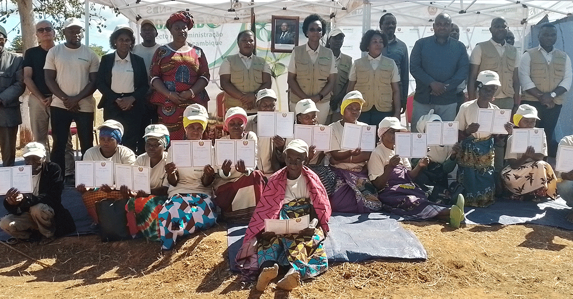
We support the full land administration cycle with our innovative methodologies and proprietary cutting-edge technologies

Data preparation, processing, analysis, and, management

Community building, and land use management

Mapping and Land registration, boundaries delimitation and, title certification

Property appraisal and tax collection

Experience

VASTPOINT's team is a proven leader in designing and implementing transformative large-scale land administration projects across Africa, India, and the Middle East.

Our methodologies, coupled with proprietary cutting-edge technologies, are carefully crafted to address the distinctive challenges faced by low- and middle-income countries.

This unique combination sets us apart, ensuring the delivery of lasting positive change to governments and citizens.
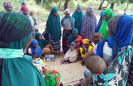
MOZAMBIQUE

Mozambique: Terra Segura Land Administration Project" (World Bank operation).

Provision of Delimitation of Communities, Basic Land Use Planning and Land Regularization, parcels demarcation, boundaries survey and preparation and issuance of over 1.1 Million Land Titles in (7) seven provinces.
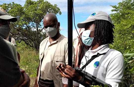
CABO VERDE

Santiago Island Land Registry Operation (world Bank operation) Clarify the rights and boundaries of about 235,500 properties.
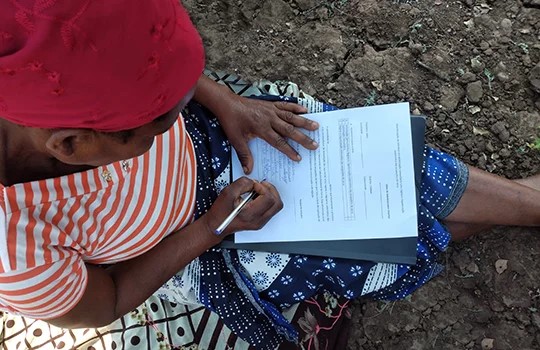
SOUTH AFRICA

Cadastre Mapping and Valuation of over 8 million properties.

Mapping and valuation in metropolitan and urban municipalities for property tax purposes, generating annual tax revenue of over $1 billion.

Impact

" With the majority of the world’s population lacking secure land and property rights, land is at the center of development challenges" (World Bank)

Our goal is to improve land administration in high-growth countries to:

  • Promote sustainable development
  • Ensure citizens’ provision of basic services
  • Improve citizens’ quality of life

We help secure land tenure rights by:

  • Increasing trust and reducing conflictsbetween local communities and the government
  • Promoting land-based economic development
  • Advance women’s rights in land-related matters
3,323,708
Total Population Served
(both sex, project)
821,349
Number of Land Titles Awarded
541,481
Total Number Land Coverage (Ha)
444,800
Female Land Owners
(co-ownership or single-owner)
54%
Female Land Owners
(co-ownership or single-owner)
20,650
Number of individuals receiving training &
Capacity Building

Impact

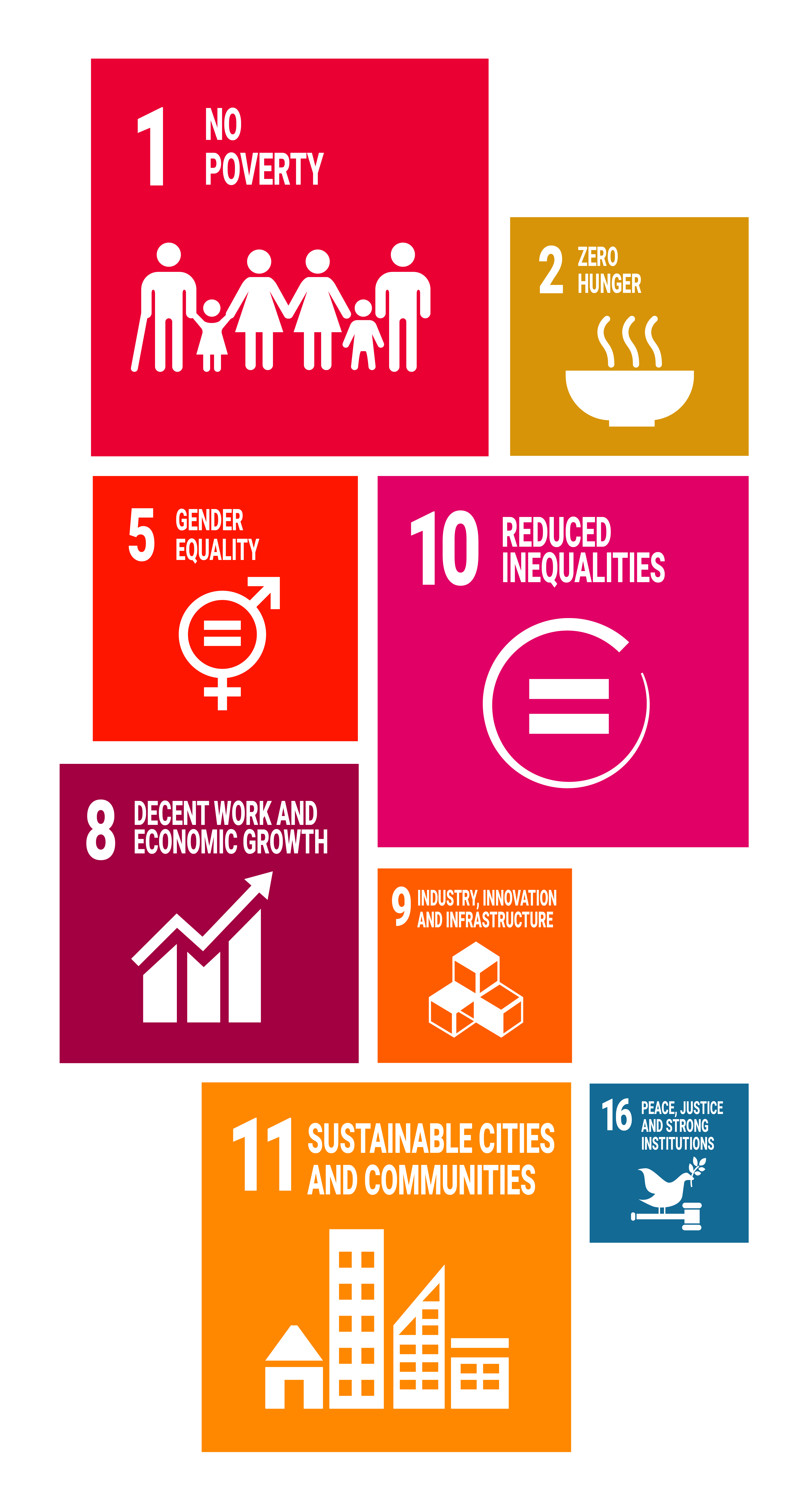
Land’s fundamental role in sustainable development is reflected in 8 targets and 12 indicators of the SDGs.

Strengthening land rights is critical for development and poverty reduction efforts.
Our Team

Advisory Board

Nimrod Gerber

Director (Chairperson)

Nimrod

With over 20 years of operational experience implementing investments, partnerships, and projects in Africa and emerging markets to drive large-scale environmental and societal impact,

Nimrod focuses on fostering economic growth in urban and rural communities through sustainable infrastructure, food production, agro-industry, healthcare, and more, leveraging expertise in private sector and government engagements across diverse business models, investment strategies, and financing structures.

Gil Picovsky

Director

Gil Zilberman

Gil brings 25 years of versatile experience as an investment banker, principal, and tech entrepreneur across multiple industries worldwide.

Amit Stibbe

Co-Founder

Amit Stibbe

Over 10 years of experience in operational positions and project management.

Deep understanding of impact investing, particularly in the land administration and water sectors.

Sefi Porat

Co-Founder

Sefi Porat

Over 10 years of experience in Information Systems and financing.

Leading the characterization and development of commercial GIS platforms for authorities.

Management Team

Willy Govender

CEO (Co-Founder)

Willy Govender

Entrepreneur with over 35 years of experience in IT and geospatial solutions.

Co-chair for Africa UNGGIM and executive director for the World Geospatial Industry Council.

Expert in land administration and property valuation.

Gil Zilberman

Operations

Reshme Nandlal

Over 20 years of experience in Information Systems, GIS applications, urban planning systems, and smart cities. Held key technical positions in leading more than 150 municipalities and dozens of IT systems projects

Ashley Gangaram

Technology

Ashley Gangaram

Over 16 years of experience in the technology sector, GIS, System integration, and software solutions. Responsible for overseeing technology development, security, and IT strategy to meet organisational goals.

Proven expertise in leading digital transformation projects, improving efficiency, scalability, and reliability. Experience managing diverse technology teams across multiple countries, focusing on innovative solutions for public and private sector clients.

Reshme Nandlal

Corporate Finance Executive (FM)

Reshme Nandlal

Finance professional with 20 years’ experience in financial and management accounting, including audits, tax, and statutory compliance.

Highly skilled in multi-disciplinary functions, including Treasury, HR; payroll, and implementing and driving processes. Have BCom degree, Honours in Management accounting, Qualified SAIPA Professional Accountant, and completing the CIMA Strategic level exams.

Yazeed Zoabi

Sales and Marketing

Yazeed Zoabi

Over 15 years of experience in mapping and cadaster in Africa.

Held key technical positions in leading national cadaster projects in the African continent.

Hallel Elnir

Stakeholder Management

Hallel Elnir

Over 10 years of experience in international development and urban and rural planning.

Extensive operational experience overseeing development projects in emerging markets.